About us
co-operators| 1956 | born |
| 1971-75 | Industrial High School of geodesy, Prague |
| 1975-80 | CTU, Faculty of Civil Engineering, specialization geodesy and cartography |
| 1981-90 | Teacher of Specialist subjects on Industrial High School, Prague |
| 1990-92 | Land - Surveyor, SÚRPMO Praha |
| 1992-98 | Jaroslav Zastoupil - land - surveyor and photographer |
| od 1998 | Zastoupil a Král - land-surveyors |


| 1960 | born |
| 1981-83 | after leaving examination study on technical high school, specialization geodesy in České Budějovice |
| 1986-91 | land - surveyor, SÚRPMO Prague |
| od 1998 | Zastoupil a Král - land-surveyors |
-
Instrumentation:
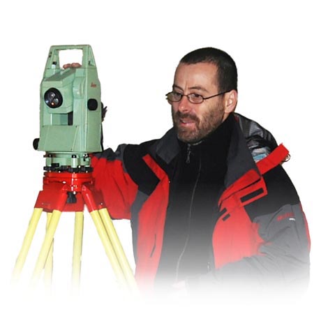
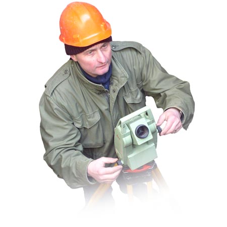
- total measuring station Leica TCR
- leveling devices Zeiss NI 025 and Zeiss NI 007
-
Software:
- AutoCAD LT
- Autodesk Map 2007
- Digital model of landscape - Atlas of Maps 3D
- Groma 8

